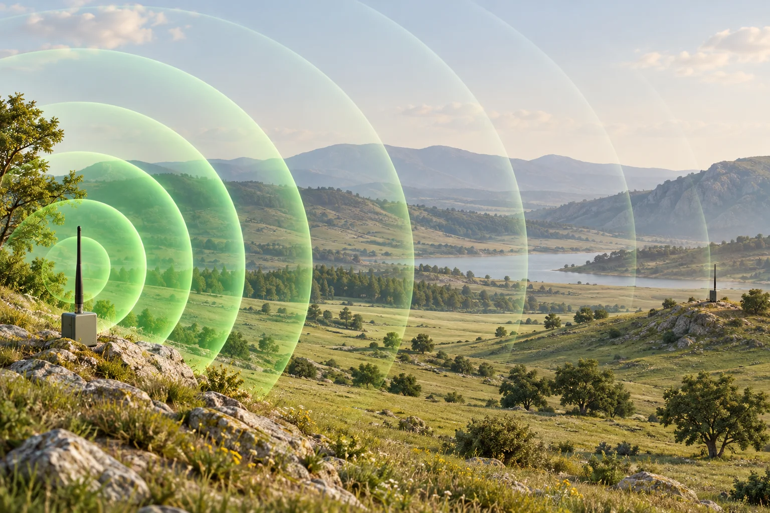
The short answer: In ideal free space, doubling the distance leaves a receiver with one-quarter of the received power, a drop of about 6 dB. Outdoors, hills, vegetation, antenna placement, and interference can matter as much as the distance itself. Near the ground, even the curve of the Earth limits range: antennas 0.5 m and 1.5 m high have a radio horizon of about 8 km.
A tracker may send regular updates across an open field, then miss them behind a nearby ridge. That does not mean its range specification suddenly changed. It means the radio path changed. To understand useful range, you need to consider both how a signal spreads and whether the receiver can still decode it.
What happens when distance doubles?
Imagine an ideal antenna radiating equally in every direction. Its power spreads over a sphere with surface area 4πr². At twice the radius, the same power covers four times the area. A receiving antenna therefore collects less of it.
This inverse-square relationship describes free-space propagation with frequency, transmit power, and antenna gains held constant, away from the antennas' near field. Real antennas have directional patterns; the sphere is a useful model, not a claim that every antenna radiates equally in all directions. The reference model is documented in ITU-R P.525.
| Distance | Relative power | Power change |
|---|---|---|
| 100 m | 100% | 0 dB |
| 200 m | 25% | −6 dB |
| 400 m | 6.25% | −12 dB |
| 800 m | 1.56% | −18 dB |
These are relative values, rounded for clarity, not measured tracker performance. They do not tell you where reception will stop.
Why a weaker signal eventually means missed updates
A receiver needs enough signal quality to decode a message. Its sensitivity is the minimum received power specified for particular radio settings and a defined error rate. The gap between the received power and that threshold is the link margin.
For a hypothetical receiver with a −120 dBm sensitivity threshold, a −100 dBm signal has 20 dB of margin. A −118 dBm signal has only 2 dB. Both may work in a quiet, steady test, but the second has little room for an additional loss when the tracker moves or an obstacle enters the path.
That is why useful range is better judged by consistent message delivery than by the farthest point where one packet arrived. Interference can also prevent decoding even when the received power looks adequate.
Increasing transmit power can help, but it has diminishing returns. With everything else unchanged, doubling free-space range requires roughly four times the transmitted power (6 dB). Without a clear line of sight, Digi puts the cost of doubling range at 12 dB or more, about 16 times the power. Antenna gain and receiver sensitivity also contribute to the link budget, as explained in Digi's guide to range and antenna gain.
Why real-world range differs from open-air estimates
The free-space model contains no trees, buildings, or ground reflections. A working installation has all of these possibilities:
- Blocked paths: hills, walls, and dense vegetation can weaken a link or interrupt it altogether.
- Reflections: signals bouncing off the ground or nearby surfaces can combine constructively or destructively. A small change in position can change reception.
- Antenna mounting: orientation, nearby metal, and the body carrying a tracker can change how efficiently its antenna sends and receives energy.
Why free-space math overestimates range
Loko's specifications list a maximum transmit power of 22 dBm and a receiver sensitivity of −137 dBm. That is a link budget of about 159 dB before antenna gains. At 868 MHz, free-space loss is about 91 dB over 1 km and 117 dB over 20 km. Taken at face value, the free-space model would allow a link of roughly 2,400 km.
That figure is not a range estimate. It shows how much of the budget a real path uses up: ground reflections, terrain, vegetation, the body carrying the tracker, and the curve of the Earth.
The radio horizon
Over long distances, the Earth bulges up between two low antennas. A common estimate of the radio horizon, which allows for the slight bending of radio waves in the lower atmosphere, is 4.12 × (√h₁ + √h₂) kilometers, with both antenna heights in meters. Beyond it, the ground blocks the direct path and losses rise steeply.
| Tracker height | Receiver height | Radio horizon |
|---|---|---|
| 0.5 m | 1.5 m (handheld) | ≈ 8 km |
| 0.5 m | 10 m | ≈ 16 km |
| 1 m | 15 m | ≈ 20 km |
Even over perfectly flat, open ground, a tracker on a dog's collar and a receiver held at chest height cannot see each other beyond about 8 km. A 20 km link needs one end roughly 15 m above the terrain, such as a receiver on a ridge or mast, and in practice more to keep the path clear. A long-range specification describes an elevated, open path, not two devices at ground level.
Clearance around the path
Seeing the other antenna helps, but radio also needs clearance around the direct path. This surrounding region is called the Fresnel zone. It is widest at the middle of the path: at 868 MHz its radius there is about 9 m on a 1 km link and about 13 m on a 2 km link. A common rule of thumb is to keep at least 60% of that radius clear, about 8 m at 2 km. When both antennas are only a meter or two above flat ground, the ground cuts deep into that zone, which is why raising either antenna often helps more than adding power. See Digi's explanation of visual and radio line of sight and our radio line-of-sight guide.
A directional antenna can concentrate coverage toward a fixed receiver. For a moving tracker, coverage across the directions it actually travels may be more useful than a narrow high-gain beam.
What this means for LoRa GPS trackers
LoRa does not avoid propagation loss. It uses radio settings that can support decoding very weak signals. At a fixed bandwidth, increasing the spreading factor improves sensitivity, but makes each transmission take longer. That trades data rate and airtime for a stronger link budget, as described in Semtech's LoRa and LoRaWAN overview.
Loko supports spreading factors SF7 to SF12 at 125 or 250 kHz bandwidth. At the same bandwidth, SF12 can decode signals about 12.5 dB weaker than SF7. In free space that is roughly four times the range; on an obstructed path, where doubling range takes 12 dB or more, it is closer to twice. Each step up in spreading factor also roughly doubles how long a packet stays on the air.
| Spreading factor | Time on air |
|---|---|
| SF7 | ≈ 57 ms |
| SF9 | ≈ 185 ms |
| SF12 | ≈ 1.3 s |
These values assume coding rate 4/5, an 8-symbol preamble, and an explicit header with CRC. The 20-byte packet is an illustrative size for a short position message.
Small coordinate messages suit this tradeoff better than large data transfers. Longer airtime also affects energy used per message and channel occupancy, so the most sensitive setting is not automatically the best choice for every deployment. Test along your route and use the lowest spreading factor that still delivers updates reliably at the interval you need. The Loko LoRa GPS tracker page explains each radio parameter.
A GPS fix and a radio connection are separate things
The GPS receiver calculates its position from satellite broadcasts. It does not depend on being close to your handheld receiver; GPS.gov describes this one-way positioning process. A separate communication link delivers those coordinates to you.
In a direct LoRa tracking system such as Loko, distance and terrain affect the tracker-to-receiver link. A tracker can still know where it is while its messages fail to reach you. Conversely, a working radio connection does not guarantee a fresh GPS fix under a blocked sky.
If updates stop, check the timestamp of the last received position. That location tells you where the tracker was when the update was recorded, not necessarily where it is now.
How to check and improve range in the field
- Start with a clear-path baseline. Test both devices nearby in an open area using their normal antennas and settings. Confirm that fresh location messages arrive.
- Use realistic mounting. Put the tracker where it will actually be carried. A test with both antennas held high is not representative of a tracker close to the ground.
- Change position before changing power. Try a clearer location or raise the receiver. Compare results at the same distance.
- Record delivery over time. Count expected and received updates at each test point. Note terrain, antenna orientation, settings, and any signal readings the device exposes.
- Repeat along the intended route. Include dips, turns, vegetation, and other likely trouble spots. Choose an operating area with dependable updates, rather than treating a single successful long-distance message as a coverage guarantee.
Distance explains the baseline loss. The complete radio path determines whether the next update gets through. For a reliable tracker setup, give antenna placement, terrain, and repeated field measurements the same attention as the advertised range.