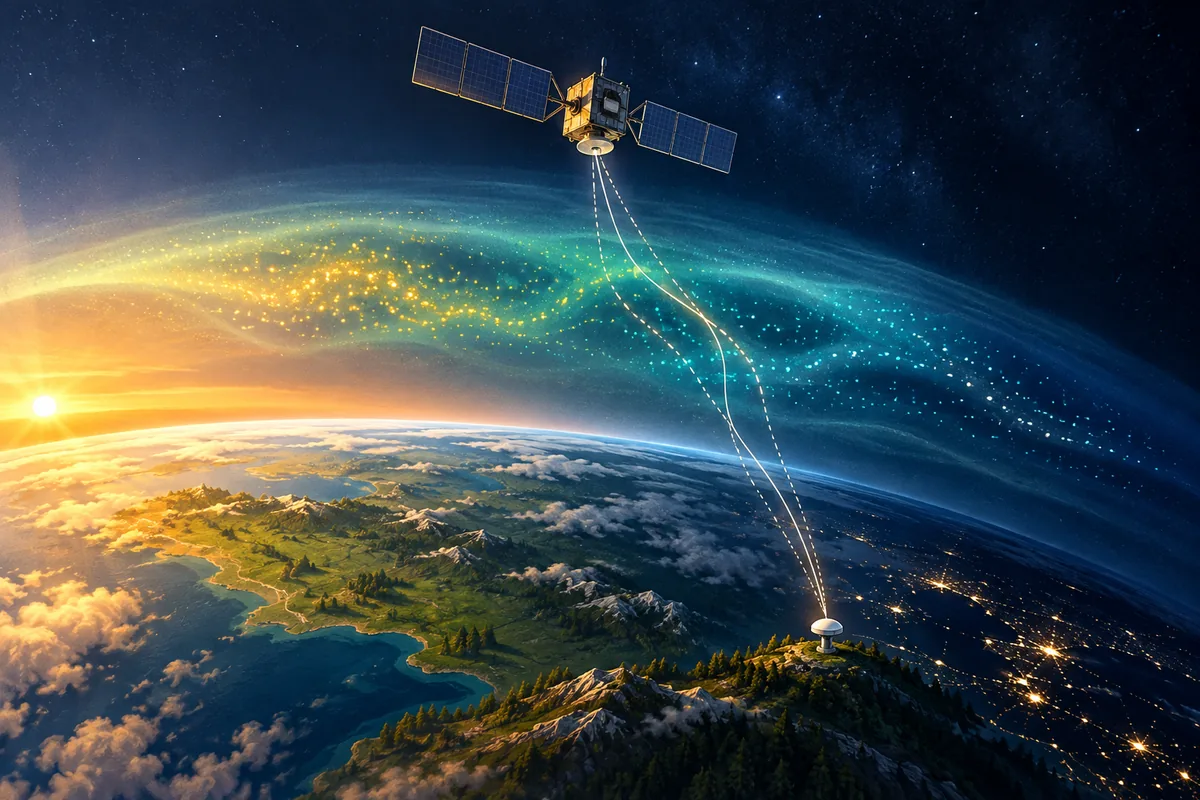
How the ionosphere’s altitude changes from day to night
The ionosphere is the part of the upper atmosphere where solar radiation strips electrons from atoms, leaving free electrons and ions. It starts about 60 to 70 km above the ground and can extend to around 500 km. UCAR’s ionosphere guide describes its layers.
| Region | Approximate altitude | Daytime | Night |
|---|---|---|---|
| D | 60–90 km | Present | Disappears |
| E | 90–150 km | Present | Weakens sharply |
| F | 150–500 km | Often splits into F1 and F2 layers | A single F layer remains |
As the lower regions fade after sunset, the remaining ionization sits higher, mostly in the F layer. The boundaries vary with latitude, season, and solar activity, so these figures are typical ranges, not fixed limits.
Why altitude alone does not set the GPS error
GPS satellites orbit at about 20,200 km, so every GPS signal passes through the whole ionosphere. Layer height changes the geometry: where a slanted signal crosses the densest part, and how long its path through that part is. A higher layer does not automatically mean a larger error.
A more useful measure is total electron content (TEC): the number of electrons in a column one square meter in cross-section along the signal path. It is counted in TEC units; 1 TECU equals 10¹⁶ electrons per square meter. Vertical TEC can range from a few to several hundred TECU, depending on local time, latitude, season, solar activity, and geomagnetic conditions. NOAA’s TEC overview explains these factors.
On the GPS L1 frequency (1575.42 MHz), each TECU adds about 0.16 m of delay. A vertical path can therefore add anything from under a meter to tens of meters of range error before correction.
What changes through the day?
Sunlight builds up ionization during the day. After dark, electrons and ions recombine and electron density falls, but the ionosphere does not disappear. The table describes a general pattern, not a schedule for predicting GPS accuracy at a particular place.
| Local time | Ionospheric change | Possible GPS effect |
|---|---|---|
| Morning to early afternoon | Solar radiation adds free electrons, and electron content rises toward an afternoon peak. | Uncorrected delay grows. The GPS broadcast correction model places the daily peak at 14:00 local time. |
| After sunset | Overall ionization falls. Near the magnetic equator, the F layer can rise and become unstable. | Rapid signal fluctuations can disrupt tracking even as the average delay decreases. |
| Night | Electron density is lower, and mainly the F layer remains. | Delay is usually smallest. The broadcast model uses a constant night-time value of 5 ns, about 1.5 m. |
| Disturbed conditions, any time | Space weather can override the usual pattern. | Errors can grow to tens of meters, and receivers may lose lock. |
The evening rise of the equatorial F layer
The clearest case where a change in ionospheric altitude directly degrades GPS comes just after sunset near the magnetic equator. There, a brief strengthening of the eastward electric field, called the pre-reversal enhancement, lifts the F layer higher. At that height there are fewer collisions with neutral gas, and the bottom of the layer can become unstable. The result is plasma bubbles: regions of depleted electron density that make GPS signals scintillate.
Plasma bubbles usually develop around 19:00 local time and are most frequent around 21:00 to 22:00. Kepkar et al. (2020) describe this pattern from satellite data.
There is no universal “best GPS hour,” and a rule that nighttime GPS is always better misses this evening effect. NOAA notes that equatorial instabilities are most severe just after sunset.
How the ionosphere affects GPS measurements
1. A range error without a weak signal
GPS estimates distance from signal timing. The ionosphere delays the ranging code, making an uncorrected satellite distance appear too long. Carrier-phase measurements experience the opposite first-order effect: a phase advance. A receiver can therefore show a strong signal while its measurements still need correction.
The first-order code delay increases with TEC and decreases with the square of the signal frequency. This frequency dependence is what lets dual-frequency receivers estimate and remove most of the effect. ESA Navipedia explains the ionospheric delay.
2. Rapid fluctuations and loss of tracking
Small, uneven patches of electron density can cause scintillation: rapid changes in signal strength and phase. Severe scintillation can break a receiver’s lock on a satellite and interrupt position updates. It is more common at low and high latitudes than at middle latitudes. NOAA’s scintillation guide distinguishes this disruption from a smooth delay.
3. Longer paths near the horizon
A satellite low on the horizon sends its signal on a longer, slanted path through the ionosphere. In the broadcast correction model, a satellite 5° above the horizon sees about three times the delay of one directly overhead. The same ionosphere can therefore affect different satellites by different amounts, and the resulting position error also depends on how the satellites are arranged in the sky.
What helps reduce GPS errors?
- Broadcast correction models. Single-frequency GPS receivers can apply the Klobuchar model, whose coefficients the satellites broadcast. It removes about half of the ionospheric range error on average (RMS, worldwide); individual fixes can do better or worse. ESA documents the model and its limits.
- Dual-frequency measurements. Because the delay depends on frequency, combining two frequencies removes the first-order term, which is more than 99.9% of the ionospheric effect. It does not prevent loss of lock during severe scintillation.
- More usable satellites. Tracking several constellations improves availability and geometry, which helps when some satellites are low or briefly lose lock. Signals from every constellation still cross the ionosphere, so this does not replace correction.
- Check the whole reception environment. Give the antenna a clear view of the sky and follow its mounting guidance. Buildings, terrain, and reflections can cause problems unrelated to space weather.
- Check conditions for precision work. Review NOAA’s space-weather information and your receiver’s quality indicators, such as the number of satellites in use. A valid-looking coordinate alone does not show whether it meets your accuracy requirement.
What this means for Loko tracking
A tracker has two separate jobs: calculate a location from satellite signals, then deliver that location to you. Loko’s receiver tracks GPS, GLONASS, Galileo, and BeiDou satellites, which improves availability and geometry. Loko then sends the position over a LoRa radio link. That link carries the fix as calculated; it cannot remove an ionospheric error or restore a missing satellite measurement.
Near the equator, occasional evening gaps or jumps in position can come from scintillation rather than from the tracker or the radio link. If an update is missing or a location looks wrong, check both satellite reception and the tracker-to-receiver radio path. Our GPS and LoRa guide explains the two links, and the Loko specifications list the supported satellite systems.
Sources and further reading
- UCAR Center for Science Education: The Ionosphere
- NOAA: Ionosphere
- NOAA: Total Electron Content
- NOAA: Space Weather and GPS Systems
- NOAA: Ionospheric Scintillation
- ESA Navipedia: Ionospheric Delay
- ESA Navipedia: Klobuchar Ionospheric Model
- ESA Navipedia: GPS Space Segment
- Kepkar et al. (2020): Occurrence climatology of equatorial plasma bubbles, Annales Geophysicae